Connectivity - The New Look Map of Dreams
After months of hard work, the new-look WildEast Map of Dreams is now a reality.
It charts what we have, and what we need to get do, in order to make more space for nature at a supra-regional scale.
Award-winning Geographer Sarah Taigel, helped curate the map, and says it will make a big difference to nature-based connectivity and landscape-scale recovery moving into the future.
“A map does not just chart, it unlocks and formulates meaning; it forms bridges between here and there, between disparate ideas that we did not know were previously connected.” ― Reif Larsen, The Selected Works of T.S. Spivet
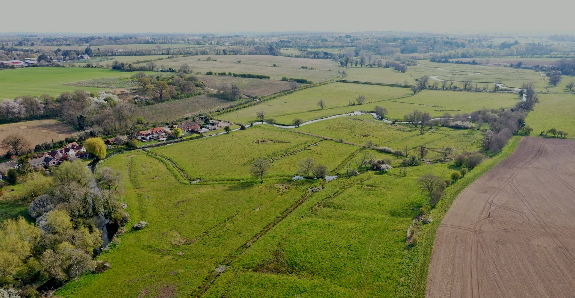
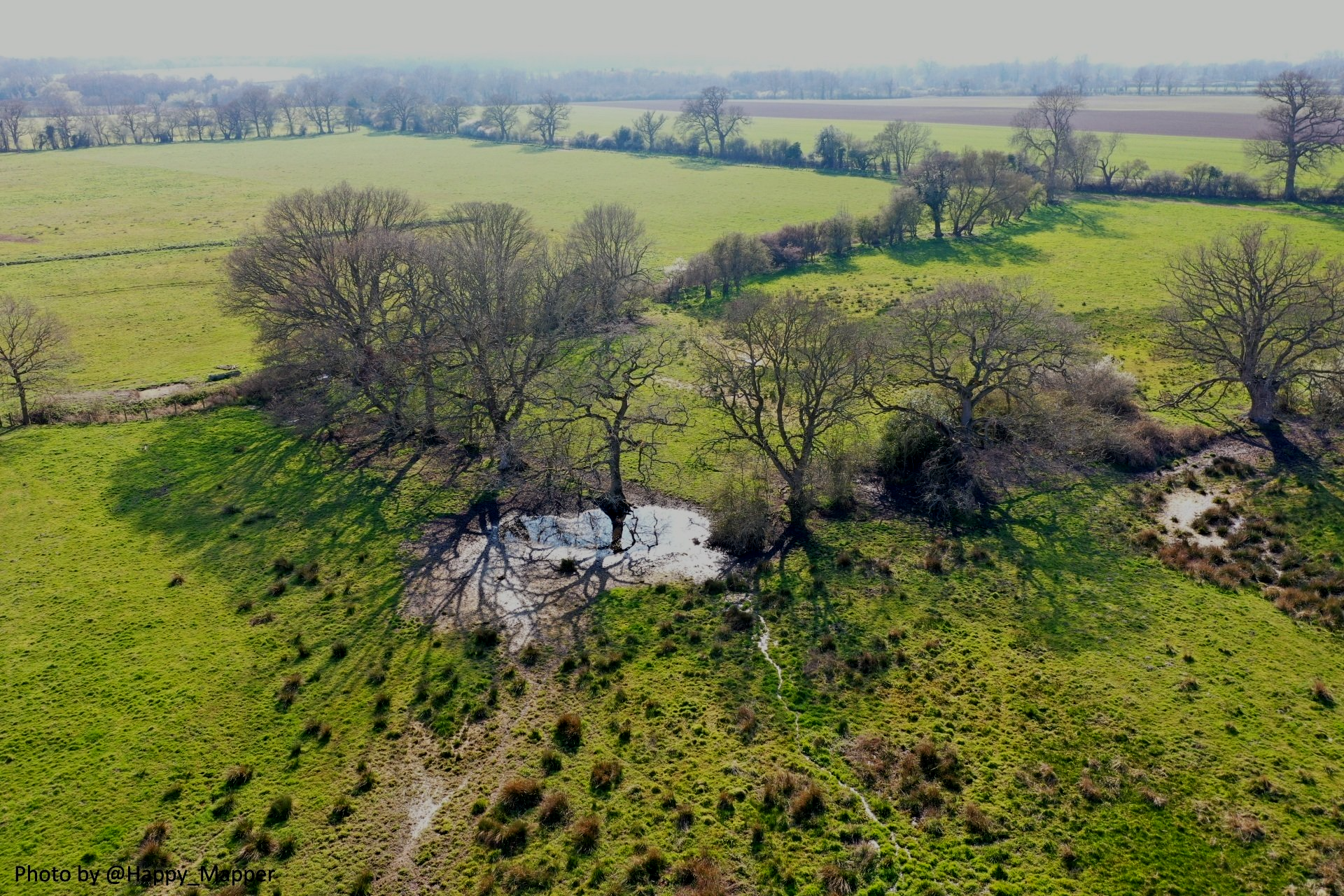
If a picture is worth a thousand words, then a map must be worth many thousands. The term landscape connectivity (i.e. the degree to which a landscape can support movement between habitats such as woods, ponds or heathland) goes hand in hand with re-wilding and the creation of sustainable future landscapes. Landscapes which have greater multifunctionality, more space for nature and increased resilience to the changing climate that we are now experiencing. There are few ways to better illustrate landscape connectivity than to create a map which will clearly illustrate the blue and green networks meandering their way across the landscape.
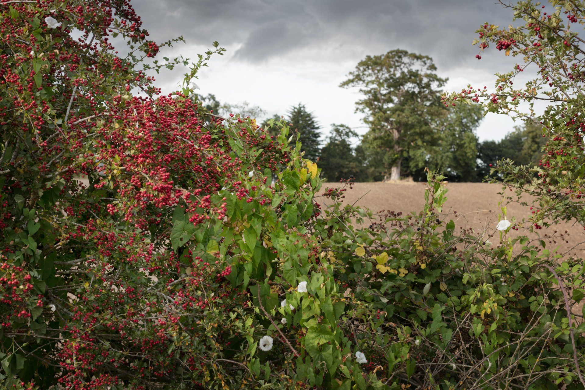
Many consider the agricultural landscapes of East Anglia as homogenous with few inspiring features and monotonous cereal fields which stretch for miles. Within the WildEast region agriculture is certainly an important land use, but this should not automatically exclude nature. Alongside the fields and farms, there are areas of outstanding natural beauty, the Norfolk Broads, Suffolk Heaths, the Brecks, Fens and coastlines. The WildEast region covers 1.9 million hectares with 1.6 million hectares being land and the remainder offshore.
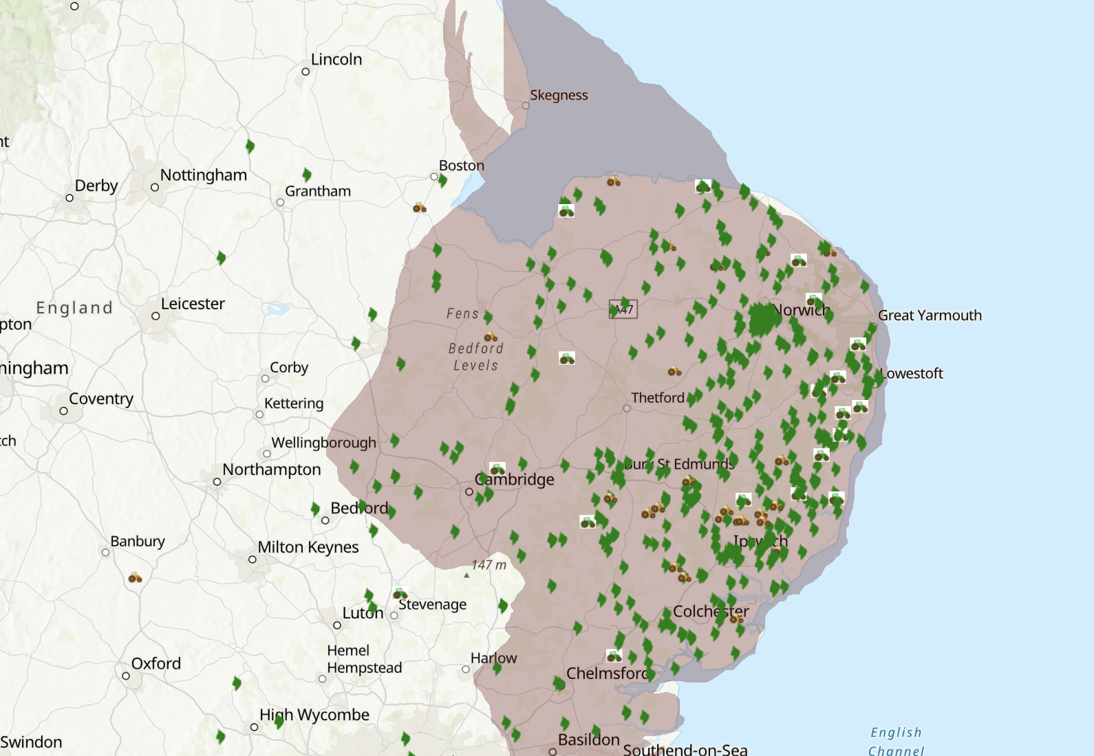
Landscapes are by their nature complicated. Fortunately there are hundreds of datasets freely available to anyone wanting to identify landscape features and determine associated statistics. Using Government portals datasets are available which show habitat types, protected areas such SSSIs, SACs, Ancient Woodlands, as well as topological datasets showing watercourses, hydrological catchments and stewardship of agricultural land. Once obtained it is straightforward to overlay these datasets using GIS software to show where there are land parcels which have superior quality habitat. But what about the connectors that WildEast know to be so vital, the field borders, hedges, ditches, and water margins? Where is the data showing the ecological highways and byways? For that we must dig a little deeper and use geospatial analysis to show where nature most needs our support.
The initial brief from WildEast was to identify geospatial data which would help create a wetter, wilder and woodier landscape. Datasets were required to show the location of water-related features such as drains, ditches, streams, rivers and ponds alongside hedgerows and woodlands. However finding and collating data across such a wide area to build the Map of Dreams was always going to be a challenge. For example it became apparent that a definitive dataset of water features in the landscape did not exist in a form that could be used for a map or spatial analysis.
Even though Ordnance Survey has a publicly available dataset which indicates whether a river is inland or tidal it does not identify the small chalk rivers or streams which are so important in the WildEast region. Using scripting techniques it was possible to pull out information from Open Street Map to identify more water features such as ditches and ponds and UCL provided some data on ghost ponds. The woodland information was fortunately relatively easy to obtain and sincere thanks must be given to Natural England who kindly allowed access to their dataset of hedges which form such an integral part of the landscape. Once all the wet, wild and woody features were identified (over 4 million of them!) then work could begin on creating margins around the features giving some indication of the hectares needed to improve the biodiversity at a landscape scale.
WildEast’s decision to commission a Map of Dreams which shows all the areas where nature could benefit across the region is a true landscape scale approach. As a result of sidestepping the administrative and funding boundaries which so often limit the scope of large scale projects, a map has been created which shows the potential for natures recovery in the WildEast region. After many months of work the Map of Dreams is now live. It shows beyond any doubt that the WildEast region is not barren.
The Map of Dreams can be used by parish councils, landowners and communities to see not just where nature most needs help but also where setting land aside, rebuilding hedges, extending woodlands and creating healthy river margins will have the biggest impact. A map which can be added to and enhanced by anyone living in the region who wants to reverse the ecological decline. This is because WildEast has opted to invest in ESRI cloud technology and entered a partnership with the LandApp simplifying the ways in which anyone can pledge land to nature, whether it be a window box, a garden pond or an entire farm estate. The statistics which are derived from the map can be used by the WildEast team to encourage and target land use change and calculate progress to the valuable target of 250,000 hectares of land returned to nature.
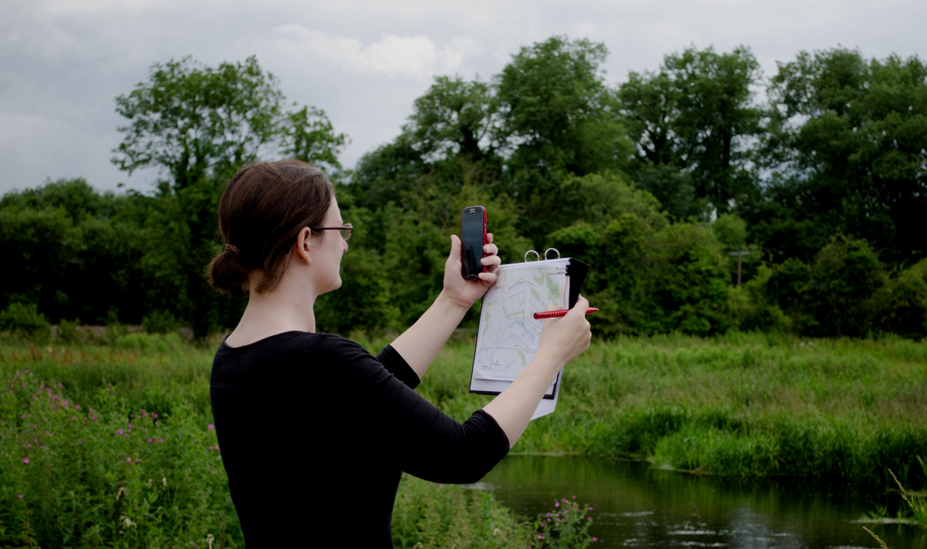
Sarah Taigel is an award winning geographer living in Norfolk, she has been working with spatial technology for 25 years and since her PhD at the UEA has had a particular focus on using spatial technology to support landscape scale management and river restoration. When not working on maps Sarah has designed and run citizen science programmes for communities, she has a particular fondness for Norfolk chalk rivers and the landscapes which surround them.
In terms of spreading the message about re-wilding, there are plans to reach-out to local councils at parish and town level, to encourage re-wilding on community land here too. In reality, there’s an acknowledgement that this activity is already well underway! So the councils’ are keen to support and celebrate what is already happening locally, as well as encouraging new trials, utilising their districts-wide reach to support connections and cross-fertilisation between pockets of local enthusiasm, and to develop an overview of activity to reflect back to the community.
Celebrating and working with local projects and partnerships, large and small, urban, suburban and rural is integral to the districts’ approach to re-wilding in a sustainable and inclusive way. As well as re-wilding, Broadland are also offering grants and assistance to community environmental projects, mainly tree and hedge planting, but always eager to support ideas being generated within the community.
For more information, click here:
WildEast Blog