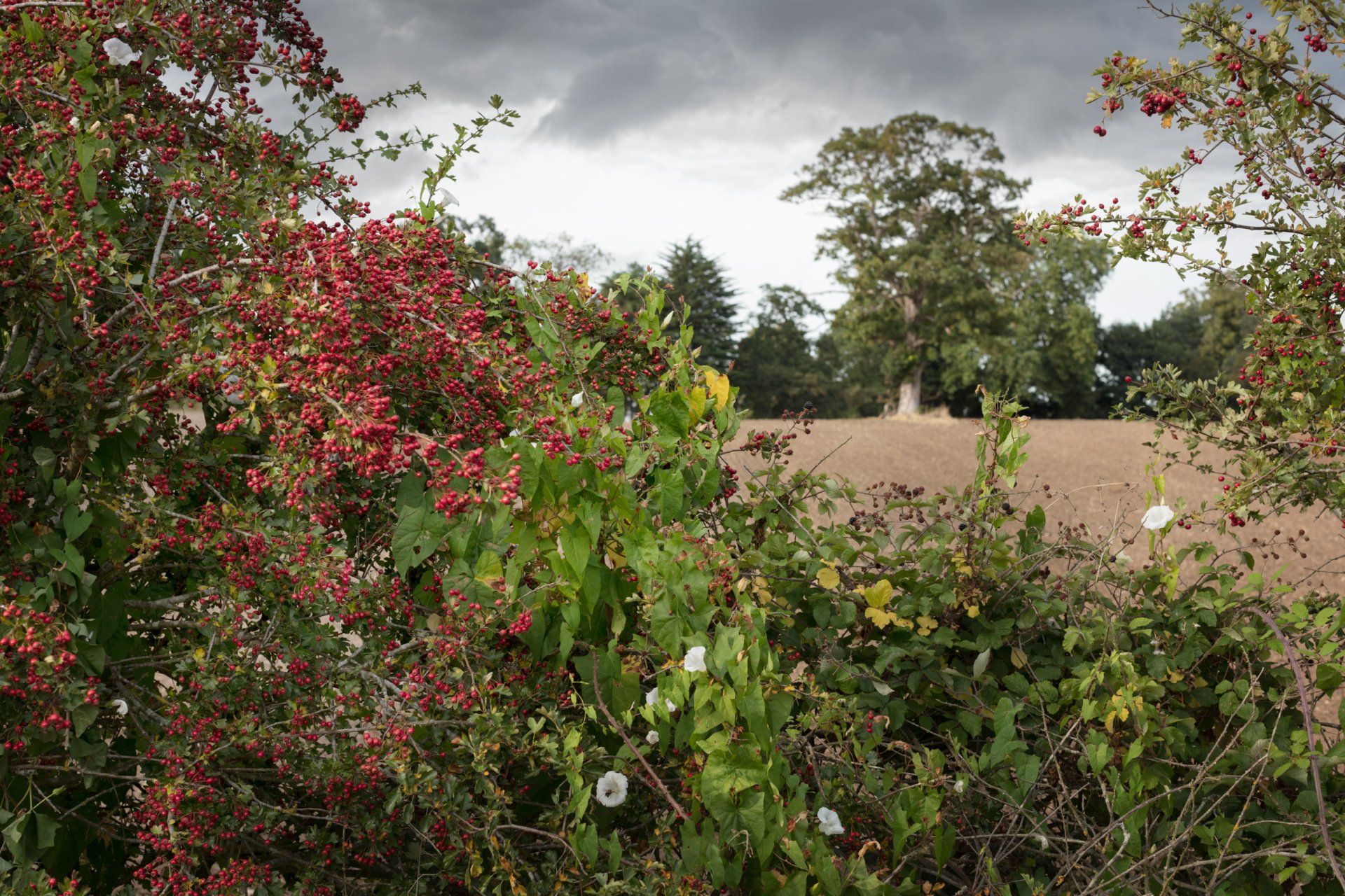
Cherished Land - Suffolk Biodiversity Information Service
The Suffolk Information Biodiversity Service provides a vital resource to the county's land managers and planners.
What's also wonderful is that everyone and anyone can also get involved to record data on their local flora and fauna.
Martin Sanford is from the service, and speaks here to WildEast's Laura Hampton.
What is the role of SBIS?
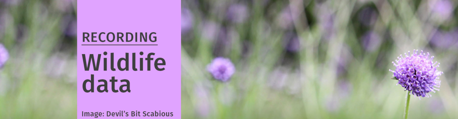
Most of our function is about data gathering from all sorts of different sources, whether that’s from commercial surveys or private individuals. Quite a lot of that happens online now, so we have web portals like I-Record that gather data. It’s a great service when people are planning to record their sightings, because it gives them a wealth of tools to do it with.
What is the role of SBIS when we look at data collection at Suffolk's Commons, County Wildlife Sites and SSSIs?
We are the data managers for County Wildlife Site Projects which have been going on for well over 30 years now. County Wildlife Sites are unlike SSSI’s in the sense that they don’t have legal protection, but they are sites of high biodiversity value and in many cases are as important as SSSIs.
The SSSI system has a quota, so it doesn’t try and protect every ancient woodland or every wetland, whereas with County Wildlife Sties we do try and do that. So everything of high value, we try and designate, but we have to do that with the co-operation of landowners. Again, that differs from the SSSI system, where in theory, SSSIs can be notified without the landowner giving their permission.
Talk me through the process that you go through in terms of mapping the biodiversity of a particular site.
There’s a legacy of well over 900 sites in Suffolk that are designated as County Wildlife Sites, and it's a massive job trying to keep the information on those up to date. The problem is that we don’t have a large survey team. There’s a member of staff at Suffolk Wildlife Trust, a chap called
Graham Hart,
who is responsible for county wildlife site advice. He provides an extremely valuable service, and when he's out visiting landowners, gathers data and uploads that data on to the SBIS central data hub. We also encourage people to go out and record data at their closest county wildlife site, if they are not privately owned, or are publicly accessible.

How would you encourage people to go about doing that if they would like to get involved.
That’s quite difficult because the data is sensitive and quite a lot of landowners are quite naturally cautious about the fact that they have a County Wildlife Site. They don’t want the public to assume that his implies there is access to this site, and they don’t want twitches, for example, coming onto their land trying to find out what’s on there.
We circulate County Wildlife Site information on a need to know basis, for planning purposes for examples, but we haven’t made maps available online where all the county wildlife sites are.
So in terms mapping that biodiversity, what kind of biodiversity do you come across on a regular basis and what happens with that data.
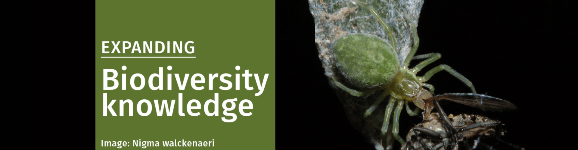
We cover the whole range of species, so in terms of what type, there’s everything from plants, animals and insects. For County Wildlife Sites we also want to record the presence of habitats, so there’s a habitat classification scheme that we can tick and cross, and sub divisions of those types. Sites are dynamic, they change. Grasslands for example are not static. If you don’t manage them they change into scrub, which then evolves into woodland if you leave it long enough. We record the presence and extent of particular habitats, and that’s done with the something called a
GIS Mapping System. With the species recording, we record the presence of particular species at a particular time and place.
When someone comes onto a County Wildlife Site to look at a specific habitat, how do they record what is there?
They will map habitats using a variety of habitat classification schemes and guides which will help them decide where the various edges are. Edges are particularly difficult to define in different habitats because they grade from one area to another. It’s quite clear where the edge of a woodland is, but it’s often not clear where grassland stops and heathland starts.
It’s not so much a question of counting, as defining the extent of contiguous areas of one particular area, or community. A woodland is a nice clear one where you can see the edges and within it, it has trees. But even within a woodland you will find discreet communities of trees. For examples, there might be an area dominated by one or two tree types. A person recording that data might hand draw a map of the wood, and then they'll draw lines around particular tree types within that wood. Or maybe it will have coppice compartments within it.


It must be a huge undertaking. Can you ever hope to record absolutely everything?
I don’t believe it is possible to record everything. We have a database with half a million records on it, but its the tip of an enormous iceberg of what is out there, and we rely on people with the relevant expertise to record particular groups. So a bird recorder will record using bird song, rather than by seeing every bird, and that takes years to accumulate the kind of needed expertise to record bird species effectively.
Will you then have experts specialising in specific areas, say entomology, who will feed specific data into a county-wide, and then larger national data bank?
So within entomology you will have specialists who know about butterflies or moths, dragonflies or beetles. They don’t tend to do the full range of insects, which would involve knowing 10,000+ types.
What happens to that data, how is it used?
All of the data is then uploaded onto a massive computer database along with the key elements of what it is and where it was located. That all then needs to be verified. We then spend a fair amount of time undertaking checking exercises, to make sure that the data is robust and reliable. We then extract from that mapping layers that planners can use, so that when they are looking at a development, they can say, well these species have been found in that area, at that time. We can pull out specific information for them, from the last 20 years, with a focus on rare and protected species. That might be biodiversity action plan species, species that are in various red data books.

Can you give a few examples of the kind of species that they fall within these upper tiers of protection?
They might be legally protected species are things like badgers, bats, great crested newts an European Protection Levels are the huge for those. There are also quite widespread species that are also biodiversity action plan species like starlings or house sparrows and these range across the various different taxonomic groups.
County Wildlife Sites don’t have the same level of protection as SSSIs, would you like to see more protection for them?
Obviously I would like to see them not developed. It’s difficult though to see how legislation would do that. I think cooperation from landowners if far better than trying to impose protection on them.
Do we have enough County Wildlife Sites in Suffolk?
With just under a thousand here in Suffolk, I think it actually boils down to the matter of resources. I think that natural development will happen in the next few years, in terms of the ecological nature recovery networks that DEFRA are proposing, and in theory those could be used to link and buffer the existing and protected sites. That is out vision. We would like to see County Wildlife Sites and SSSI’s start to be joined up with natural corridors so that we get pathways between them that species can move along.
WildEast Blog